Payment & Security
Your payment information is processed securely. We do not store credit card details nor have access to your credit card information.
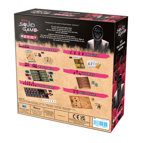
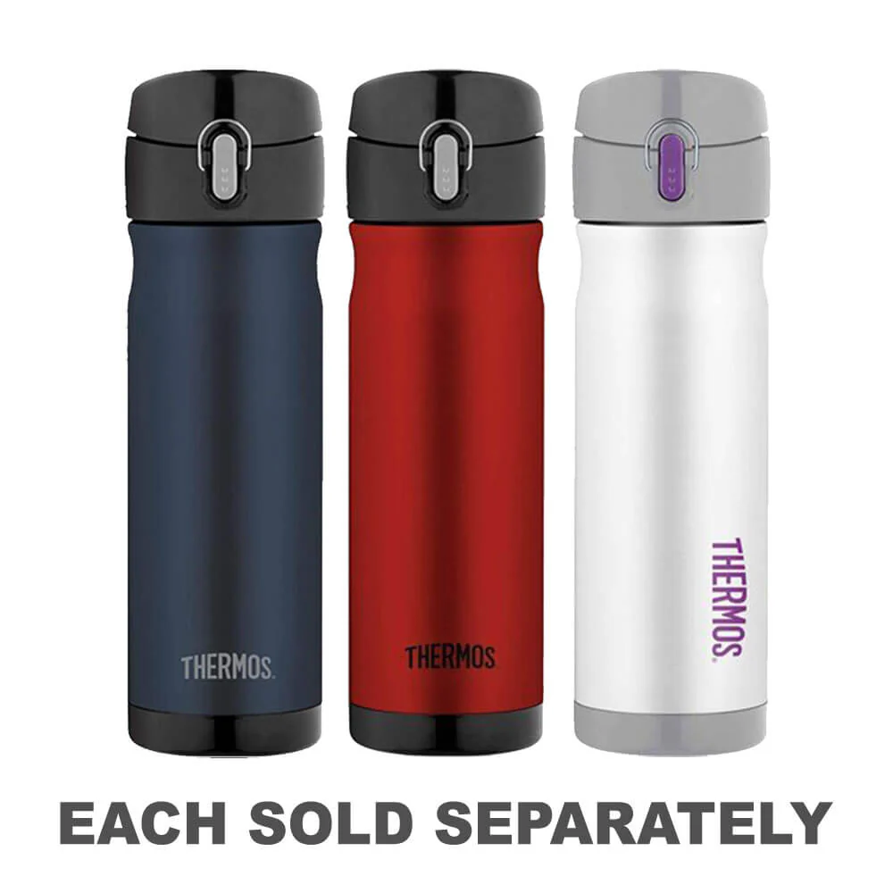
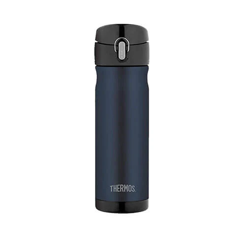
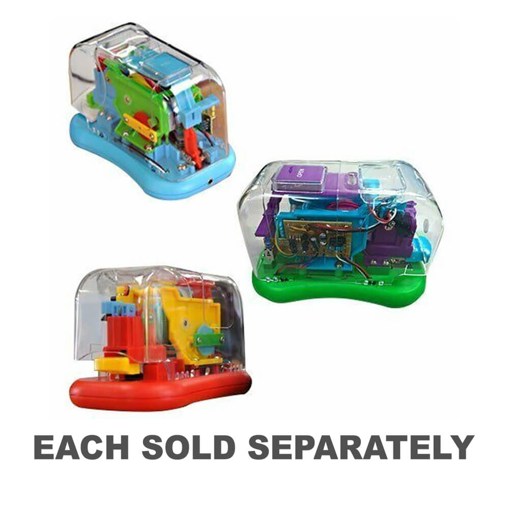
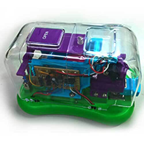
Description


Easy Returns
Free 365 Day Warranty

Shop & Pay in your currency
Now shipping to 40+ countries

100,000+ Products
Amazing Brands. All Gift Occasions.
Related Products
Top Selling Items


New
Bandai
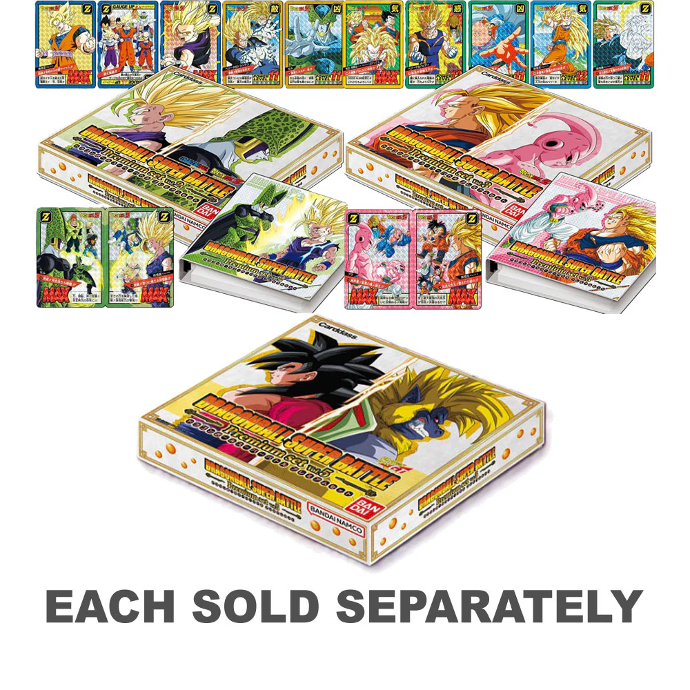
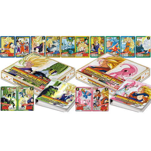
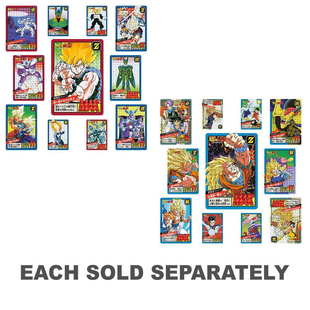
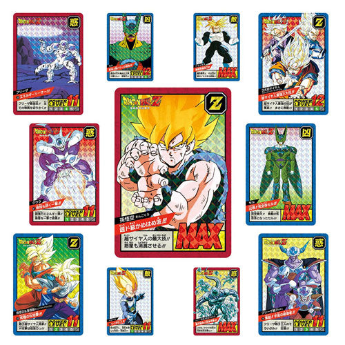
Dragon Ball Super Carddass Battle Premium Set
Sale priceFrom $223.95
In stock
FREE SHIPPING 🆓🚚
Trending Products
Save 19%

LatestBuy
What We Do In The Shadows Guillermo Pop! Vinyl
Sale price$21.95
Regular price$26.95
In stock


Save 62%


New


A Christmas Carol
A Christmas Carol Ghost of Christmas Yet to Come Glow Pop!
Sale price$26.95
In stock
🛒
BUY MORE SAVE MORE!