
Kuvaus
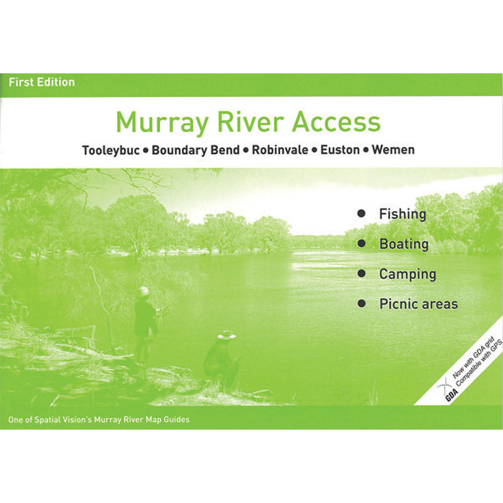
Spatial Vision's series of Murray River Access Maps are the best way to find camping, fishing and boating spots along the Murray River.
Also includes information on parks and forests, and major walking tracks.
SCALE: 1:25,000 COVERAGE: Tolleybuc, Boundary Bend, Robinvale, Euston to Wemen
IDEAL FOR: Bushwalking, Camping, fishing, mountain biking, exploring and car touring
Product Specifications
- Format: Flexi Bound Book
- Language: English
- Number Of Pages: 38
| Length : 30 cm | Width : 21,5 cm |
| Height : 0,5 cm |


Helppo paluu
Ilmainen 365 päivän takuu

Osta ja maksa valuutassasi
Toimitetaan nyt yli 40 maahan

100 000+ tuotetta
Upeat tuotemerkit. Kaikki lahjatapahtumat.
Aiheeseen liittyvät tuotteet
AFN Fishing & Outdoors
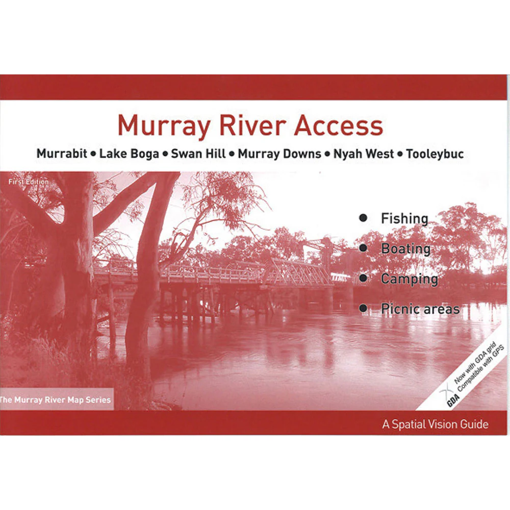
Murray River Access #5 Murrabit-Tooleybuc Chart Map
Myyntihinta$12.95
Varastossa
AFN Fishing & Outdoors
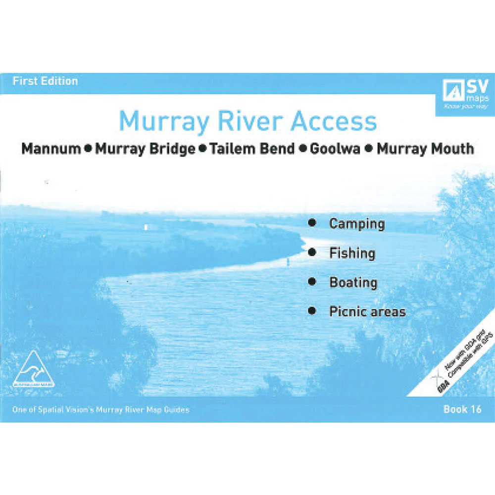
Murray River Access #16 Mannum to Murray Mouth Map
Myyntihinta$12.95
Varastossa

AFN Fishing & Outdoors
Murray River Access #4 Gunbower Island-Murrabit Chart Map
Myyntihinta$12.95
Varastossa
AFN Fishing & Outdoors
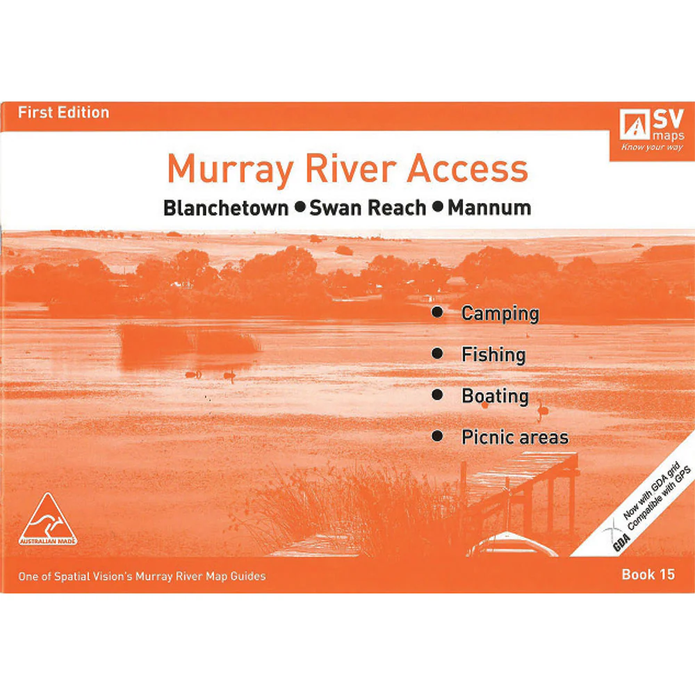
Murray River Access #15 Blanchetown to Mannum Map
Myyntihinta$12.95
Varastossa

AFN Fishing & Outdoors
Murray River Access #9 Mildura-Wentworth-Neds Corner Map
Myyntihinta$12.95
Varastossa
AFN Fishing & Outdoors
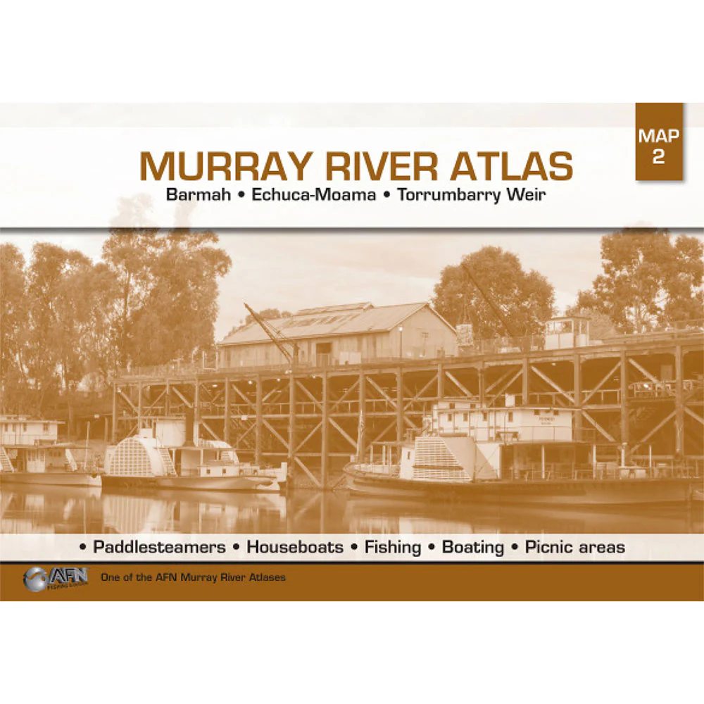
Murray River Access #2 Barmah Torrumbarry Weir Chart 2Nd Map
Myyntihinta$12.95
Varastossa

AFN Fishing & Outdoors
Murray River Access #8 Wemen Colignan Mildura Map
Myyntihinta$12.95
Varastossa

AFN Fishing & Outdoors
Murray River Access #12 Jingellic to Murray Source Map
Myyntihinta$12.95
Varastossa
AFN Fishing & Outdoors
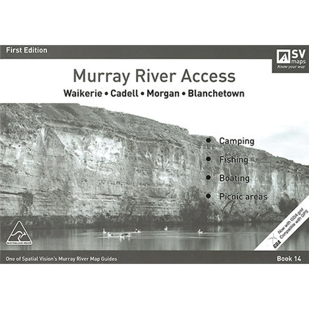
Murray River Access #14 Waikerie to Blanchtown Map
Myyntihinta$12.95
Varastossa
AFN Fishing & Outdoors
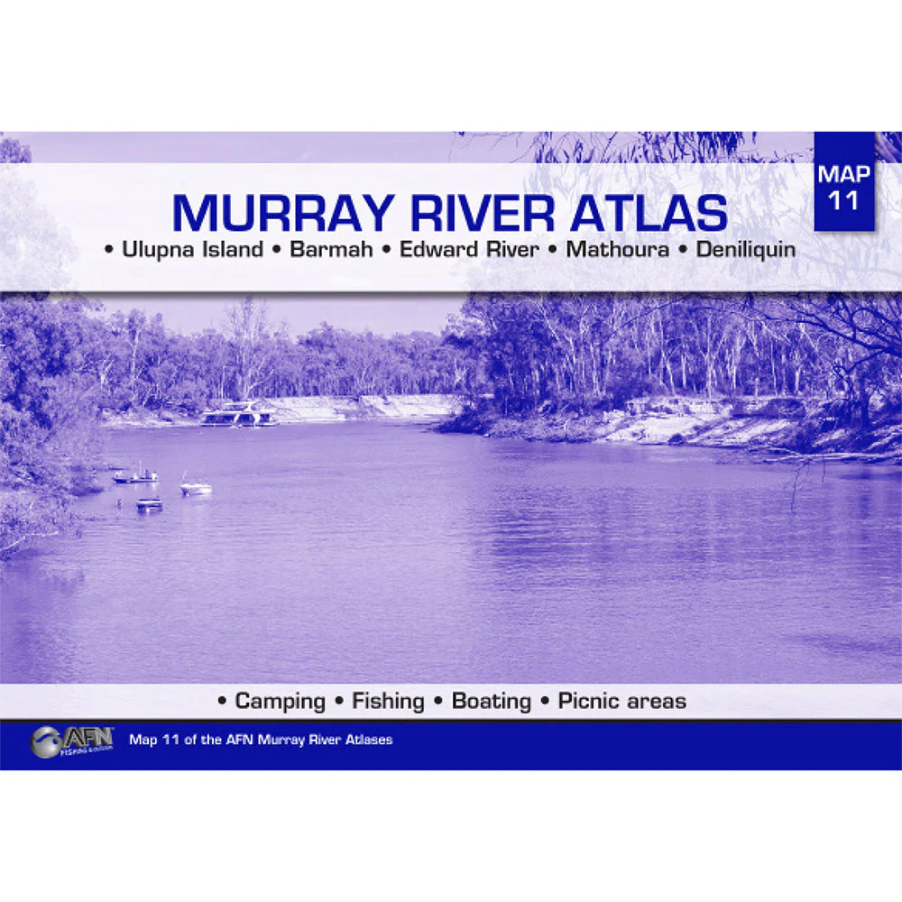
Murray River Access #11 Ulupna Island to Deniliquin Map
Myyntihinta$12.95
Varastossa
Äskettäin katsottu