
Beskrivelse
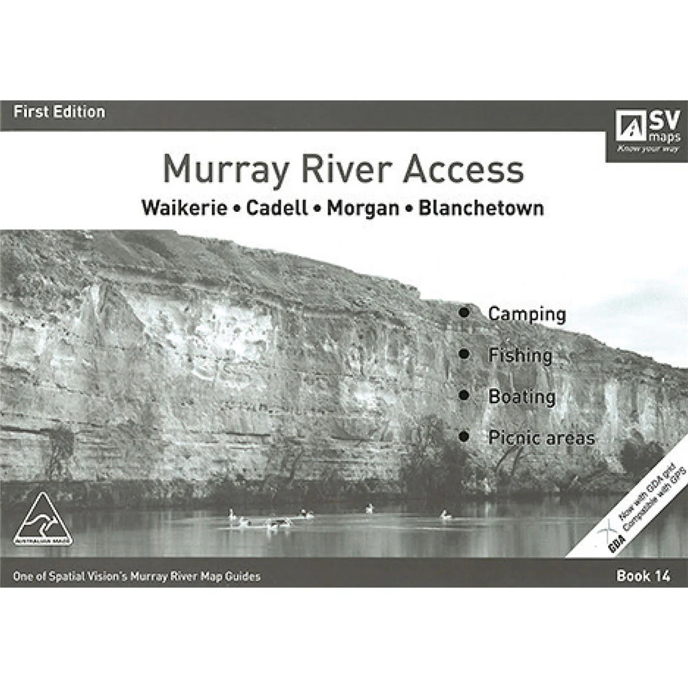
Spatial Vision's series of Murray River Access Maps are the best way to find camping, fishing and boating spots along the Murray River.
Also includes information on parks and forests, and major walking tracks.
SCALE: 1:25,000 COVERAGE: Waikerie, Cadell, Morgan, Blanchetown
Product Specifications
- Designed for visitors touring the area
- The guide has been produced with the support of Moira Shire, Park Victoria, Forests NSW and local businesses.
- The Murray River Guides are a great way to find the best camping and fishing spots
| Length : 29,7 cm | Width : 21 cm |
| Height : 0,5 cm |


Let afkast
Gratis 365 dages garanti

Shop & Pay in Your Currency
Nu forsendelse til 40+ lande

100.000+ produkter
Fantastiske mærker. Alle gavepladser.